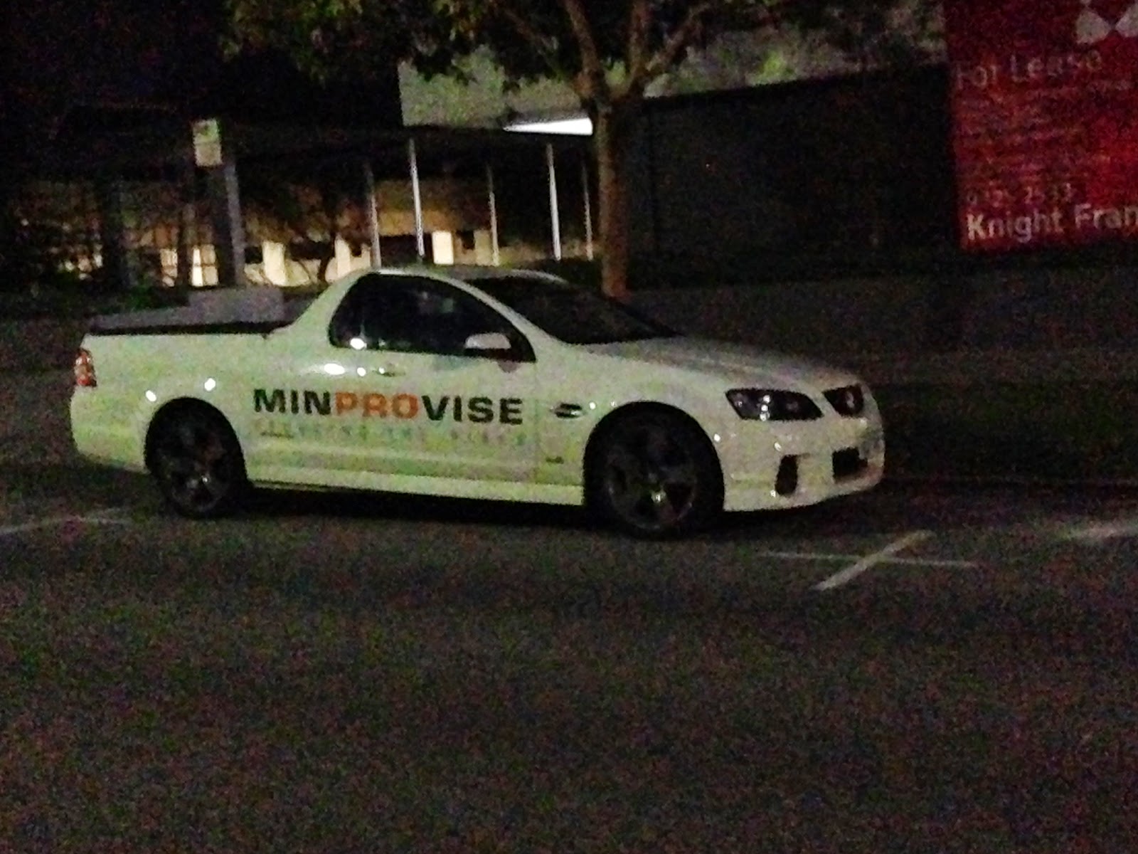
With a lot of help from my Kia.
The first Cape is Cape Lodge. Walked the property this morning. Very pretty and well kept. First class. And the night sky last night was crystal clear, which is pretty amazing being 5 kilometers from the coast. You can see the Crux, the Emu, and the disc of the Milky Way almost as well as you can from Yuluru.
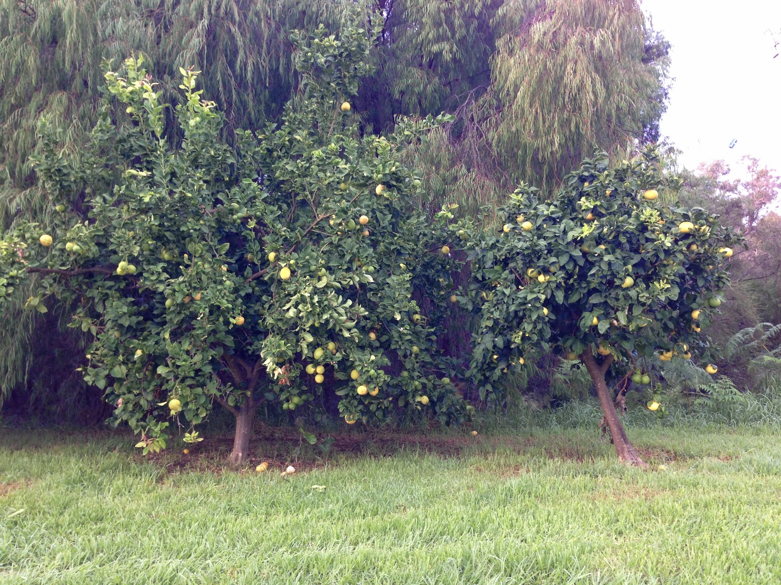
They keep their own garden and the chef picks fruits and veg from the garden for the meals.
Daybreak.
And they make their own honey.
For the Next Cape, Go South, Middle-Aged Man
I decided to start at Cape Leeuwin, the most southwestern part of Australia. It is also the point where the Southern Ocean and Indian Ocean meet.
The lighthouse at Cape Leeuwin. They have scopes at the top of the walkway around the lighthouse. There was an older man looking through the scope and was about to have a stroke because he thought he was a whale. The woman working in the visitor center, a self-proclaimed expert who has a sister who has been living in Seatle by the way, scoffed and said he just saw the surf crashing far out at sea. While she was telling me why the himpback whales aren't here right now, she got out her atlas and had me point out where I live and where everyone in my family lives.
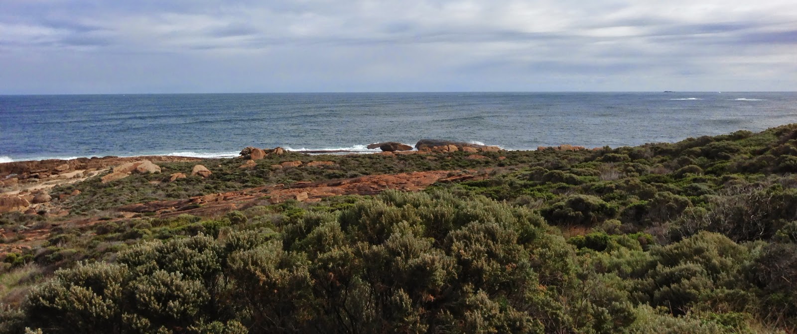
It's hard not to just sit and watch the two oceans clash. Sometimes, the Southern Ocean is winning, then the Indian Ocean. Here's the meeting point, sort of.
In the picture above, if you go in a straight line over that rock to the far left, you will come to the closest continent in from Australia from Cape Leeuwin, Antarctica.
Go in a straight line between the area where the wave is breaking and the rock you see in the middle of the picture and the continent you will hit is South America (Uruguay).
Straight out from here and you hit Africa.
Straight from here and you will end up in Asia (India).
That's Cumberland Rock in the Indian Ocean. I think the name of it is Cumberland Rock. Could be some other name with a
c. My notes are too scribbly. Any way, if you go halfway around the world to the Northern Hemisphere, you end up in Washington, D.C. I like it here for know, thank you. People here act like adults.
I know know that I wasn't going to be able to walk the Cape to Cape Trail. Turns out the trail is 135 kilometers. But I was at the start from Cape Leeuwin at the Wagon Wheel.
And the start isn't easy. Rocky and wet. With a bunch of vegetation that they have signs up all over the place saying snakes are in there. So, I maybe make it out a kilometer. Besides, I have to go back and get my own car.
Didn't want to step on the blue bubble gum, even with shoes on.
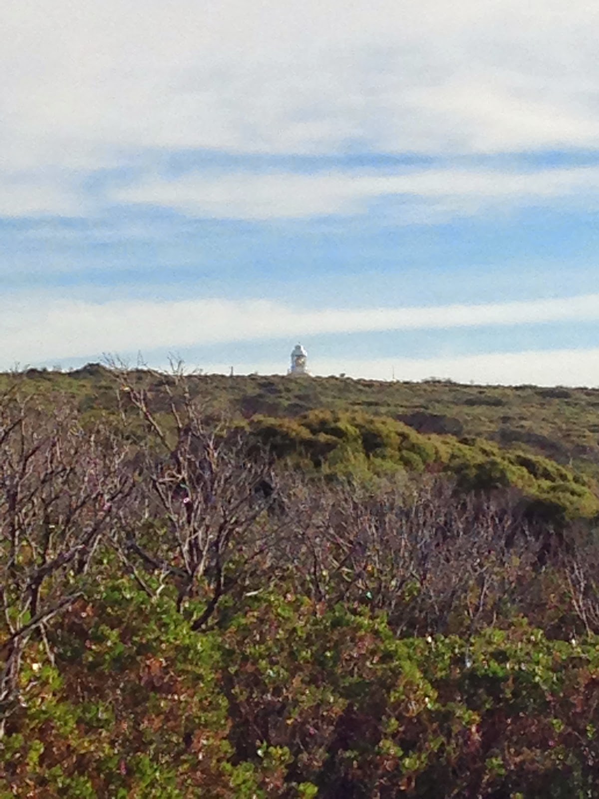
On to Cape Naturaliste, the far north end. The trails loop here and are well marked.
My car is up there somewhere.
Seriously, if you go of the trail here, you will be immediately corrected.
So easy, I walked it backwards (of course). Trust me, I kept seeing these posts with nothing on them. I looked at the other side where it had the footprint that it was a trail.
No sign.
Sign, though very faint.
There are parts that sound as hollow as Uluru as you walk through the trails.
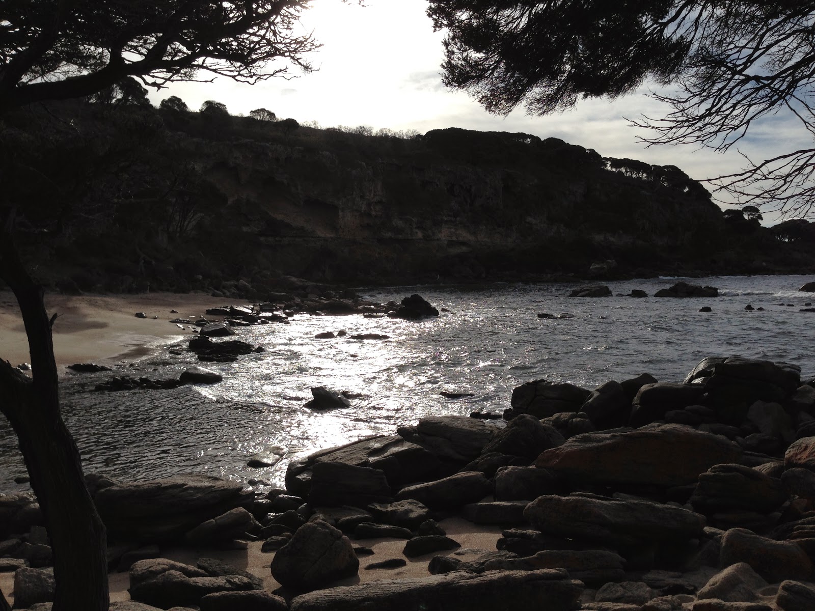
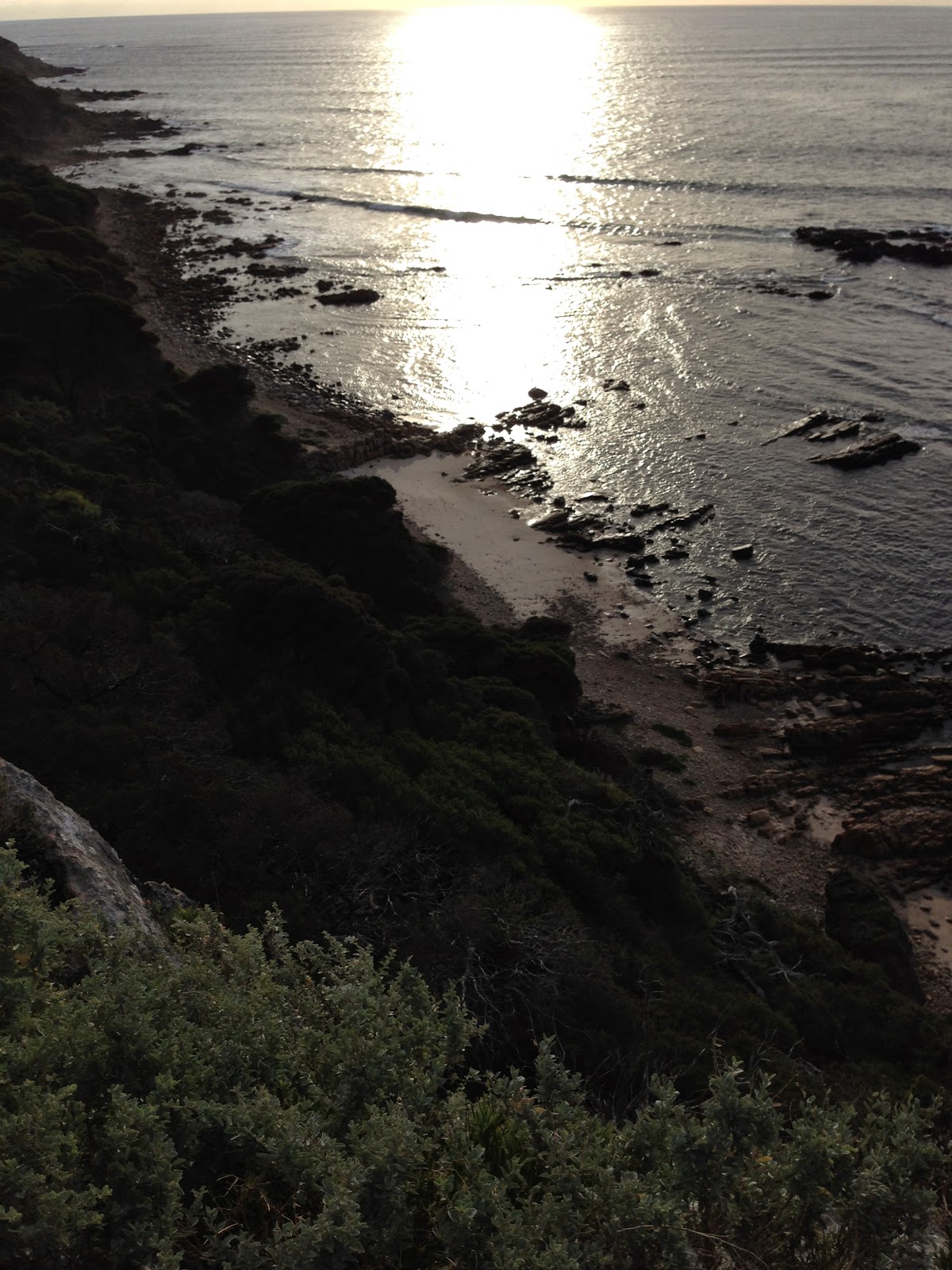
I took the loop that took me from the lighthouse, where I left my car, down the cliff to the beach in a cove at Bunker Bay. Time for more pictures.
In the picture above, see that tree in the middle where the beach juts out in to the cove?
This one.
Throws pretty good shade. A self-satisfied selfie. The hike was a lot easier than it may have looked.
Sponge.
More pictures. I could hear seals barking, but didn't spot them. Quite the scout, I am.
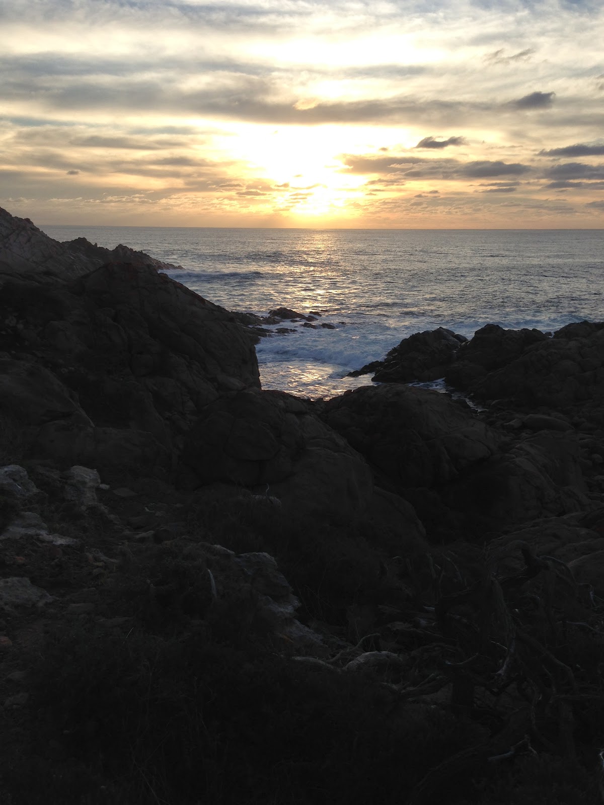
On to Sugarloaf Rock for the sunset.
Sunset at Sugarloaf Rock. My iPhone gave out on me.
Back to Cape Lodge for another outstanding dinner.
Cheers from the other side of the world.